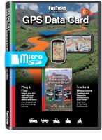
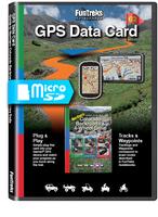
Funtreks SD Card - Guide to Colorado Backroads & 4-Wheel-Drive Trails
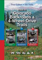
Routes match the Funtreks Colorado guidebook (FUN-838044) and are shown on pre-loaded topographic backgrounds. You’ll see your exact position on your GPS screen at all times. This card is intended to be used along with the books, which include important information, not on the card, including trail overview, trail rating, vehicle recommendation, photos of the trail and more. The card works with most Garmin GPS units and a few other brands.
What is on the data card?
Start of Trail & Points of Interest (POIs)
Each FunTreks data card includes the start of each trail from the corresponding book as a custom Point of Interest. Once the card has been inserted, some receivers will ask to import the POIs from the FunTreks data card. We do not recommend importing the POIs to the receiver due to the limited amount of internal memory in most units.
Tracks / Breadcrumb Trails
Tracks that correspond to the complete trail in the book are included on the topographic maps on the data card. Your unit will also show the waypoints that correspond to the waypoints in the book.
Files in GPX Format
All FunTreks Data Cards include GPS Exchange Format (GPX) files that will work with nearly every GPS unit and computer program that supports GPX files. Some tablet devices may be able to read these files as well.


![]() - "For Those Who Like To Get Down On All Fours" TM
- "For Those Who Like To Get Down On All Fours" TM


