TRAIL MAP ZUMA-TRANCAS CANYONS
Recommended Items

98.6 DEGREES: KEEPING ALIVE
Price: $16.99

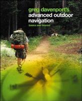
ADVANCED OUTDOOR NAVIGATION
Price: $17.95

BASIC ESSENTIALS: CAMPING
Price: $7.95
DIRTY PARTS![]() - "For Those Who Like To Get Down On All Fours" TM
- "For Those Who Like To Get Down On All Fours" TM


DIRTY PARTS![]() - "For Those Who Like To Get Down On All Fours" TM
- "For Those Who Like To Get Down On All Fours" TM